Priority Issues
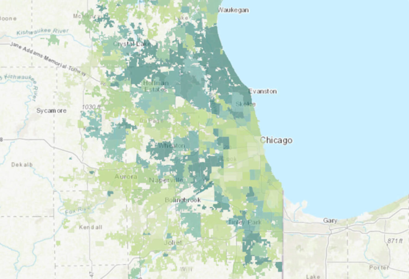
CRTI uses data to map and prioritize the communities in the Chicago region with the greatest need for improved tree canopy cover. Explore our data and interactive maps to get a summary of your community’s tree canopy. And take an in-depth look at the data layers that include: tree canopy, surface temperature, flood risk, air quality, and vulnerable populations.


