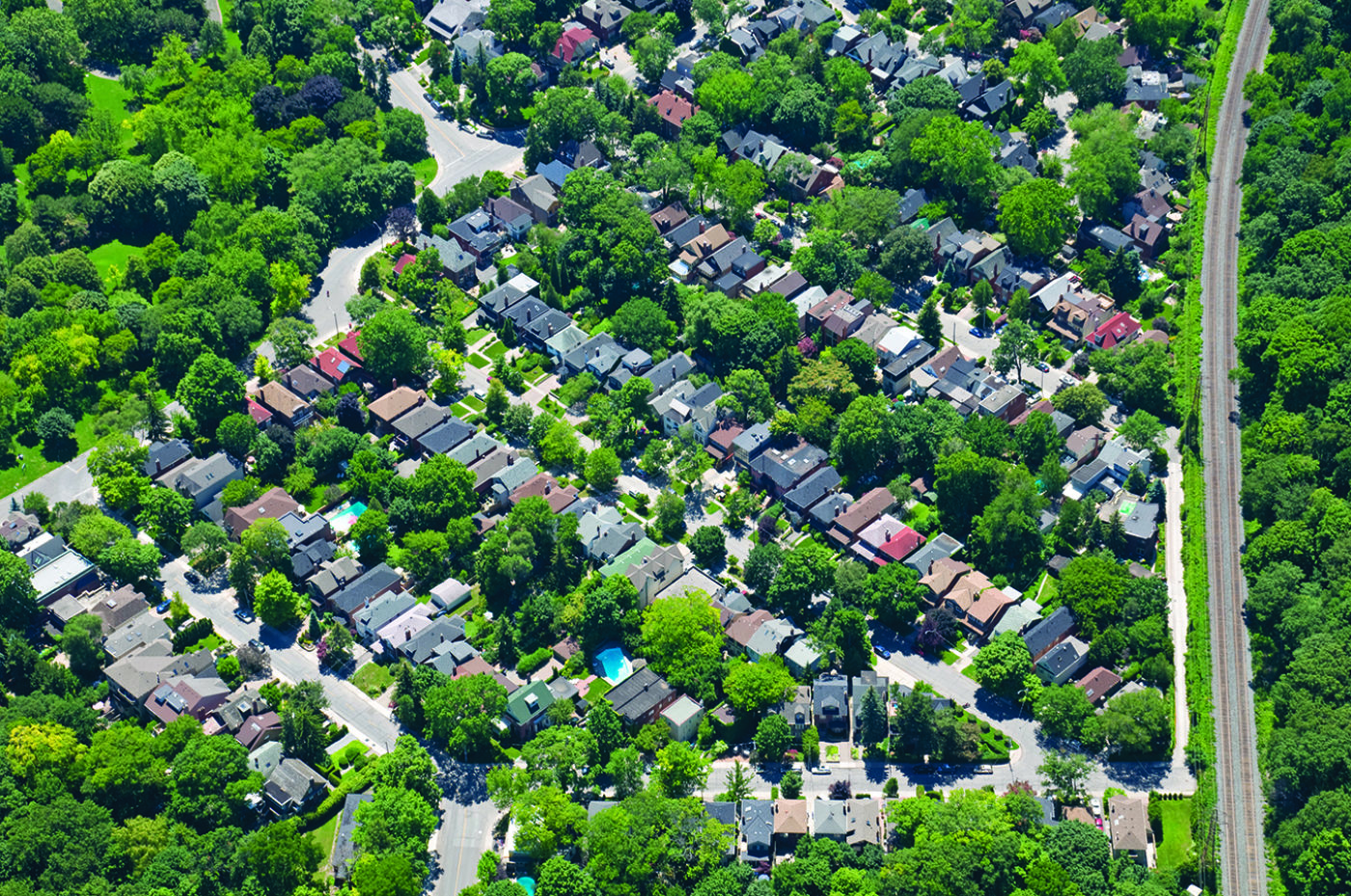
Your Neighborhood Canopy Report
The summary reports below capture the canopy cover, plantable space, and relative proportion of land use types for each municipality. They also compare those characteristics to similar communities and show ecosystem services that the trees provide. In communities with sufficient tree species inventory data, the summaries also characterize species composition.
The reports provide support for advocacy efforts and forestry management plans on the local scale. Use the map to find your community or click the name of your city or county from the list below to download the report.
